Summer Info


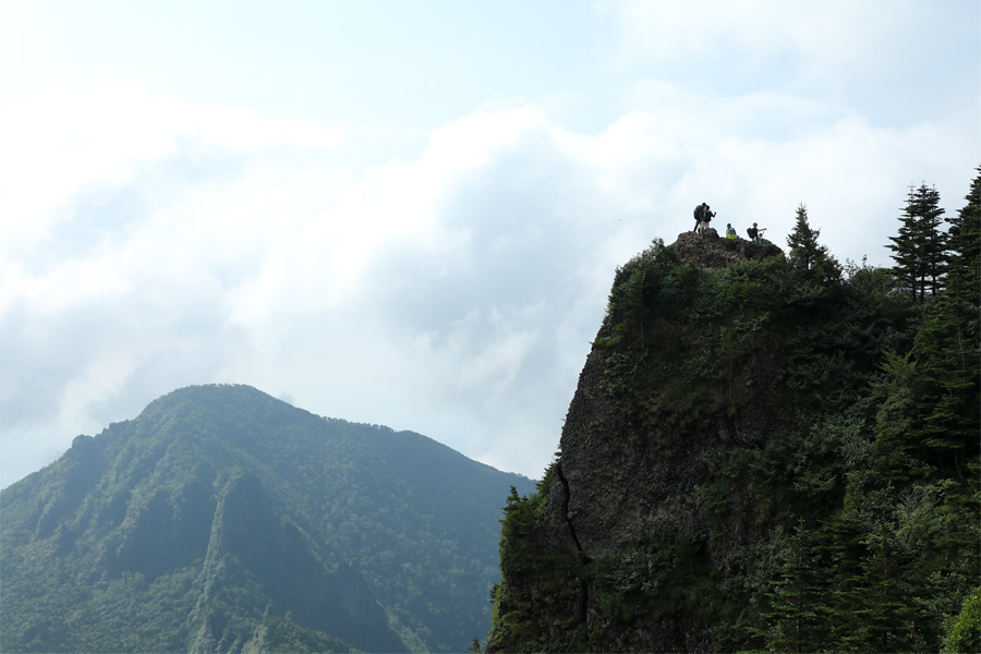
Of Japan’s 111 active volcanoes, 13 are classified as Rank A—the country’s most active category. Among them, Mt. Asama (2,568 m) is the only one on Honshu that hikers can climb. On 5/22 (Fri.), the Japan Meteorological Agency lowered the Volcanic Alert Level for Mt. Asama to Level 1, and on 5/23 (Sat.), Komoro City reopened the trail to Mt. Maekake (2,524 m), which forms the volcano’s second outer rim. For this report, I set out from the trailhead at Kurumazaka Pass in Takamine Kogen, passing Tominokashira (pictured, upper right) and Yunotaira-guchi before continuing to the summit of Mt. Maekake.
[Trail to Mt. Asama・Tominokashira]
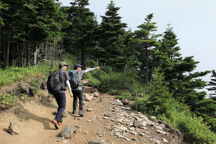
After setting out at 7 a.m., I reached the ridgeline of Mt. Asama’s first outer rim—the Kurofu Range—in around one hour. “We’re heading to Mt. Kurofu today. You can even see part of Mt. Asama!” said two hikers (pictured) as they resumed walking after a short break at Tominokashira. Just beyond this point, I turned right at the junction and began descending the Kusasuberi route toward Yunotaira-guchi.
[Trail to Mt. Asama・Tominokashira to Mt. Kurofu]
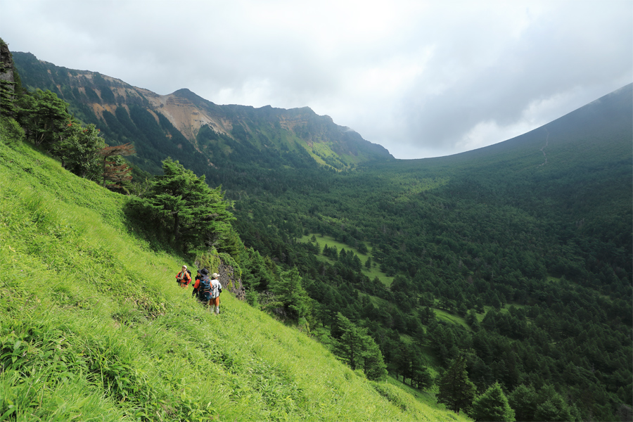
Kusasuberi (pictured) is a steep route linking Tominokashira with Yunotaira-guchi on the caldera floor, with an elevation difference of around 260 meters. The narrow trail combines large rocky steps with loose, slippery soil, making it one of the more challenging sections of the hike. The hikers around me and I called out warnings to one another—“Careful here!”—as we made our way through safely.
[Trail to Mt. Asama・Tominokashira to Yunotaira-guchi]
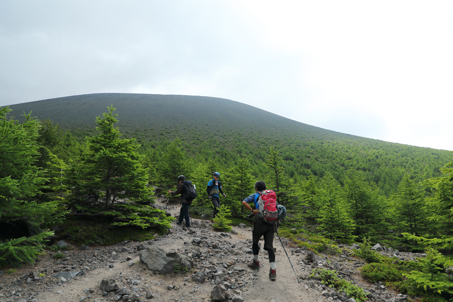
After around 30 minutes along the gently rising caldera floor through coniferous forest, the view opened dramatically and the stark slopes of Mt. Asama (pictured, upper left) loomed directly ahead. With the main summer hiking season now underway following the reopening of Mt. Maekake, the trail was bustling with hikers. By around 10:30 a.m., I was already passing people who were on their way down after reaching the summit. (※Continued in Mt. Asama, Pt. 2.)
[Trail to Mt. Asama・Sainokawara to the Emergency Shelter]
*The “Hello! Mt. Asama Hike” tours scheduled by the Komoro Tourism Bureau for 8/11 (Tue., public holiday) and 8/22 (Sat.) are now fully booked.
[Mt. Asama]
* Location: Komoro City, Nagano Prefecture / Tsumagoi Village, Gunma Prefecture
* Trailhead: Kurumazaka Pass
* Descent: Kurumazaka Pass
* Please be sure to submit a mountain climbing registration form before entering.
* Gear/Equipment: Backpack, rain gear, down jacket, towel, spare clothes, backpack cover, water & food, personal medicine, gloves, sunglasses, sunscreen, cell phone, etc.
* Request for the original data of our photographs.
reported by Snownavi