Summer Info


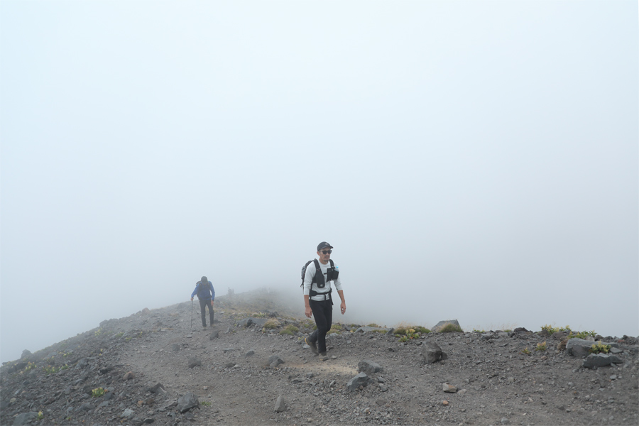
At around 10 a.m., just as I began climbing Mt. Asama’s second outer rim, clouds started rolling, along with the northerly wind, and mist enveloped the route from the emergency shelter to the ridgeline. Although the slope itself was not especially steep, the loose volcanic rock fragments and gravel underfoot made it easy to lose traction and gradually drained my energy.
[Trail to Mt. Asama・Emergency Shelter to Mt. Maekake]
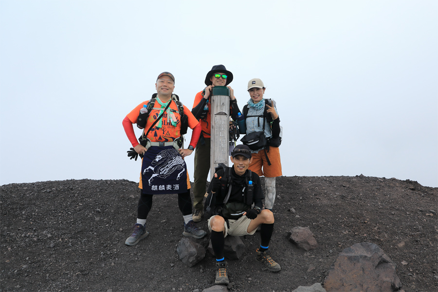
At around 11:20 a.m., four hours and 20 minutes after setting out, I reached the summit of Mt. Maekake (2,524 m), the highest point accessible to hikers. During the hike up, I had exchanged conversation and walked part of the route with a group of four from Gunma Prefecture on Kusasuberi (see Pt. 1). One member of the group (pictured, far left) told me, “Every year, we climb one of the peaks in the Mt. Asama range. Since Mt. Maekake reopened this year, I decided to climb it wearing a maekake apron!”
[Trail to Mt. Asama・Mt. Maekake]
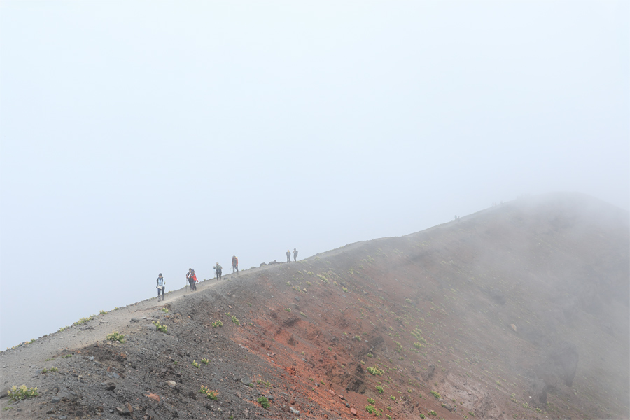
Mt. Asama has experienced repeated major eruptions and structural collapses over several hundred thousand years. It is a cone-shaped stratovolcano formed by layers of lava and volcanic debris deposited through repeated eruptions from roughly the same crater. It also happens to be one of Japan’s 100 Famous Mountains. When I placed my hand on the ground near the summit of Mt. Maekake, it felt faintly warm. The geothermal heat was a vivid reminder of the immense power beneath this active volcano.
[Trail to Mt. Asama・Emergency Shelter to Mt. Maekake]
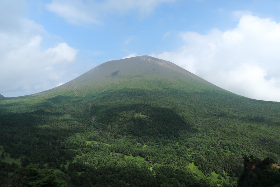
On the return journey, I had to summon what energy I had left to climb back up Kusasuberi’s steep 260-meter ascent. I found myself wishing I had instead taken the J-Band route and followed the ridgeline of the first outer rim. When I turned around, however, the clouds had begun to dissolve, revealing Mt. Asama once again (pictured). A brief shower followed later, and by the time I returned to Kurumazaka Pass after nearly eight hours on the mountain, I felt as though I had experienced everything a summer hike could offer.
[Trail to Mt. Asama・Yunotaira-guchi to Tominokashira]
*The “Hello! Mt. Asama Hike” tours scheduled by the Komoro Tourism Bureau for 8/11 (Tue., public holiday) and 8/22 (Sat.) are now fully booked.
[Mt. Asama]
* Location: Komoro City, Nagano Prefecture / Tsumagoi Village, Gunma Prefecture
* Trailhead: Kurumazaka Pass
* Descent: Kurumazaka Pass
* Please be sure to submit a mountain climbing registration form before entering.
* Gear/Equipment: Backpack, rain gear, down jacket, towel, spare clothes, backpack cover, water & food, personal medicine, gloves, sunglasses, sunscreen, cell phone, etc.
* Request for the original data of our photographs.
reported by Snownavi