 Summer Info


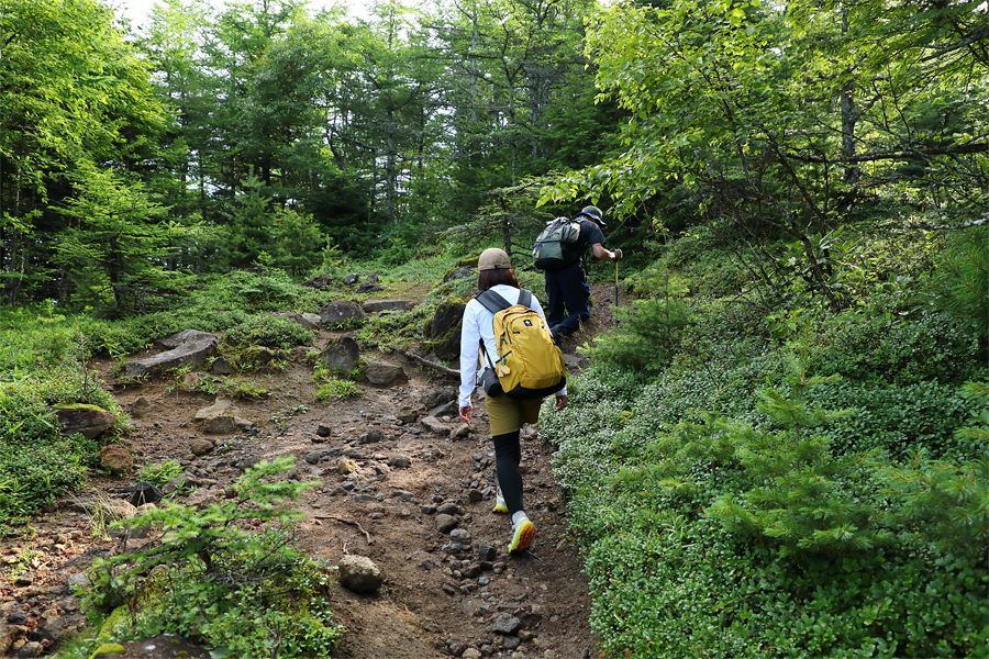
Today’s report centers on Mt. Asama (2,568m), and marks the third installment in our “100 Famous Mountains of Japan” series, following previous reporting on climbs of Mt. Norikura (3,026m) and Mt. Tateyama (3,015m). However, since Mt. Asama is an active volcano, the true high point (Mt. Maekake) can only be climbed when the volcanic alert level is at 1, and since the current level is 2, I set my sights on Mt. Kurofu (2,404m), the highest peak on the outer rim. I began my hike at 7:15 a.m. from the Kuruma-zaka Pass trailhead (1,973m) and ascended via the Omote Trail (pictured).
[Climbing Trail to Mt. Kurofu・Omote Course]
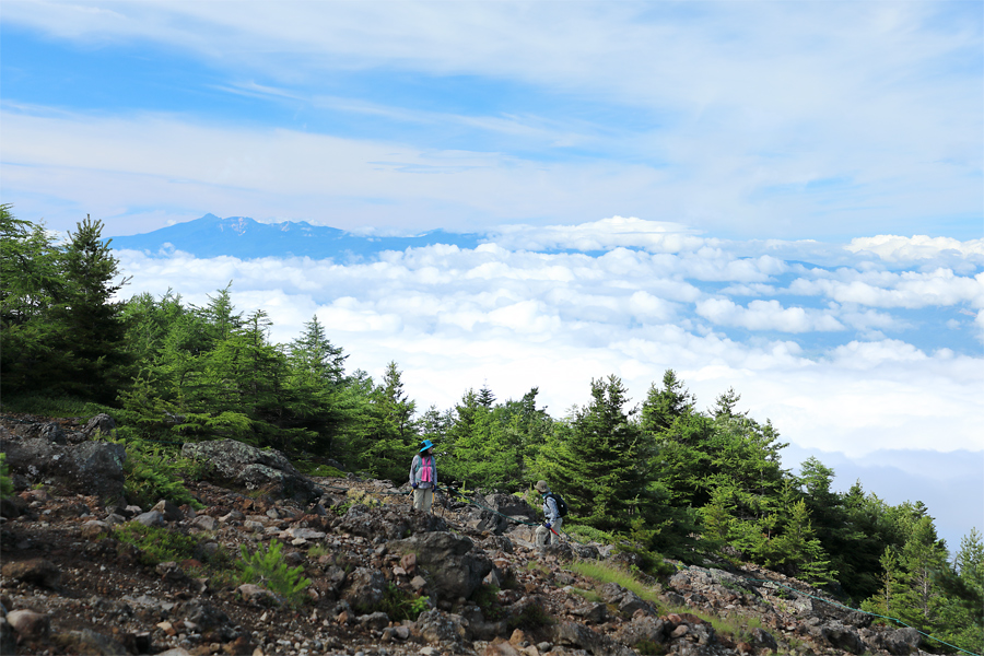
After a gentle uphill stretch, I descended briefly from Mt. Kuruma-zaka (2,055m) before climbing a pretty steep slope, where the views suddenly opened up. I could see the Yatsugatake Range (pictured, far left) and the Southern Alps beyond the sea of clouds spreading out to the south, while the peaks of the Northern Alps came into view to the west, beyond Takamine Mountain Park in the foreground.
[Climbing Trail to Mt. Kurofu・Omote Course]
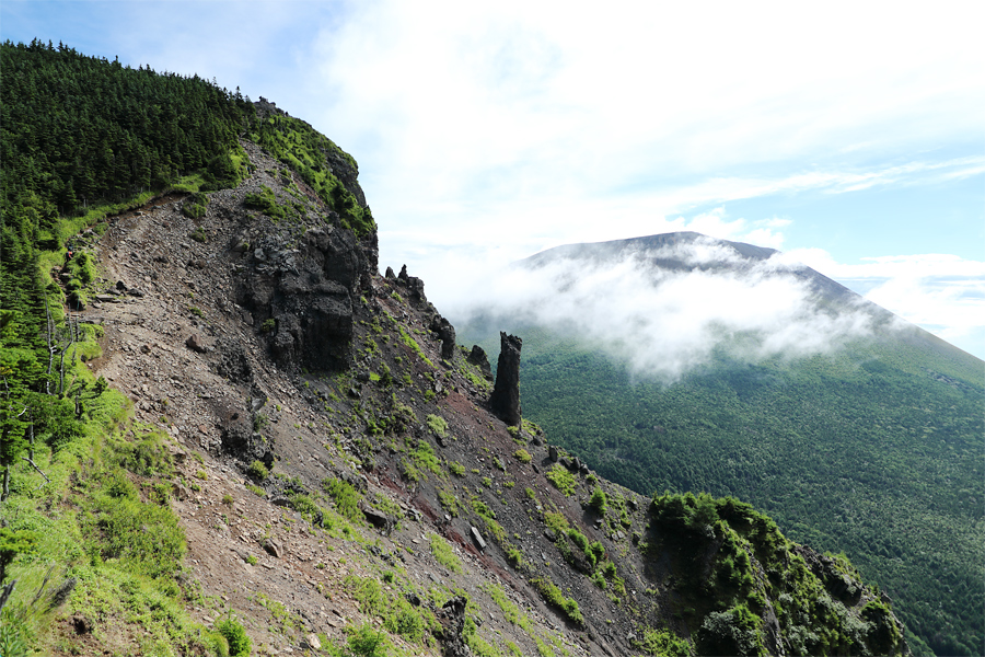
About an hour after leaving the trailhead, I reached Yarigasaya (2,294m), where the scenery opened up once again, and the majestic silhouette of Mt. Asama (pictured, far right) came into view. The main course began from here: a ridge walk along the outer rim. I first tackled a steep rocky ascent heading toward Tomi-no-Kashira (pictured top left, 2,320m). *If you look closely, you can spot a tiny red dot (a person) midway along the trail on the far left.
[Climbing Trail to Mt. Kurofu・Yarigasaya]
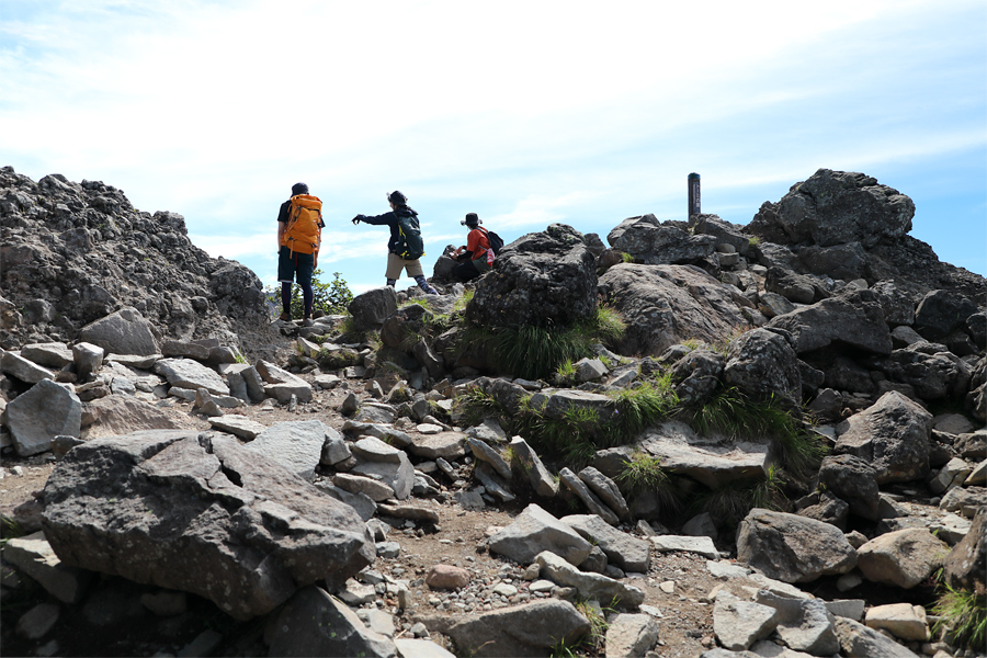
When I reached the ridge around 9:00 a.m., the sunlight became more pronounced, and the strong south wind that had been blowing earlier began to ease off. About 10 minutes from Yarigasaya, I arrived at Tomi-no-Kashira, where two hikers from Gunma Prefecture (pictured, center and right) kindly showed me a route beyond the rugged rocky terrain, saying, “If you go around this way, the view is even more incredible!” (To be continued in Mt. Asama, Pt. 2).
[Climbing Trail to Mt. Kurofu・Tomi-no-Kashira]
[Mt. Kurofu]
*Location … Komoro City, Nagano Prefecture; Tsumagoi Village, Gunma Prefecture
*Trailhead … Kuruma-zaka Pass
*Please be sure to submit a mountain entry report when entering the mountain
*Equipment … backpack, rain gear, down jacket, towel, change of clothes, sack cover, water and food, medicine, gloves, sunglasses, sunscreen, cell phone, etc.