 Summer Info


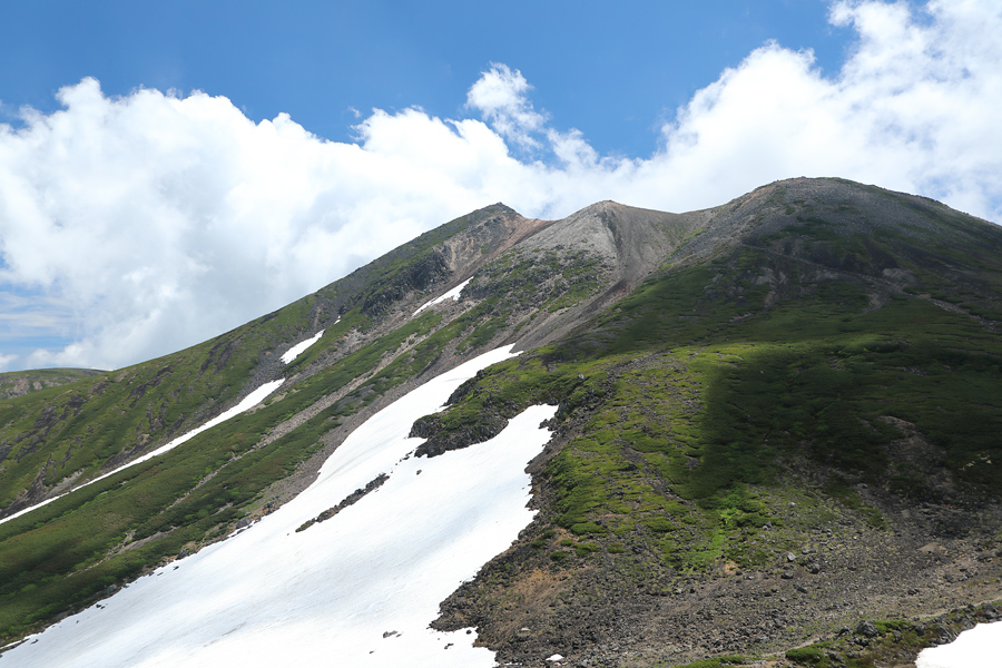
I’ve set a personal goal to climb the 15 Northern Alps peaks that are included in the list of Japan’s 100 Famous Mountains (written by Kyuya Fukada, published by Shinchosha Bunko), and I began with Mt. Norikura, the southernmost peak. Norikura-dake is an active volcano that straddles Nagano and Gifu Prefectures, and is made up of 23 peaks including the main peak Kengamine (3,026m, back left), Kodama-dake (2,979m, center), Asahi-dake (2,975m, right), and Dainichi-dake (3,014m).
[Mt. Norikura・Kata-no-Koya Hut]
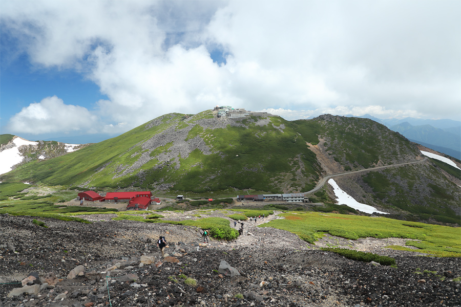
Since private vehicles are not allowed on the Norikura Echo Line between Sanbondaki and Tatamidaira, I parked at the Norikura Tourist Center today, 6/30 (Mon.), and boarded the Mt. Norikura Spring Bus. I got off at the final stop, “Daisekkei / Kata-no-Koya-guchi,” and began my hike from there. (Note: From 7/1 to 10/31, the Norikura Summit Shuttle Bus runs all the way to Tatamidaira.) After crossing the initial 500 meters of snow-covered trail, I reached Kata-no-Koya (the gray building in the center of the photo). From that point on, there was no remaining snow on the trail, and the path continued through a stretch of dark, loose volcanic rock.
[Mt. Norikura・Kata-no-Koya Hut to Mt. Asahi]
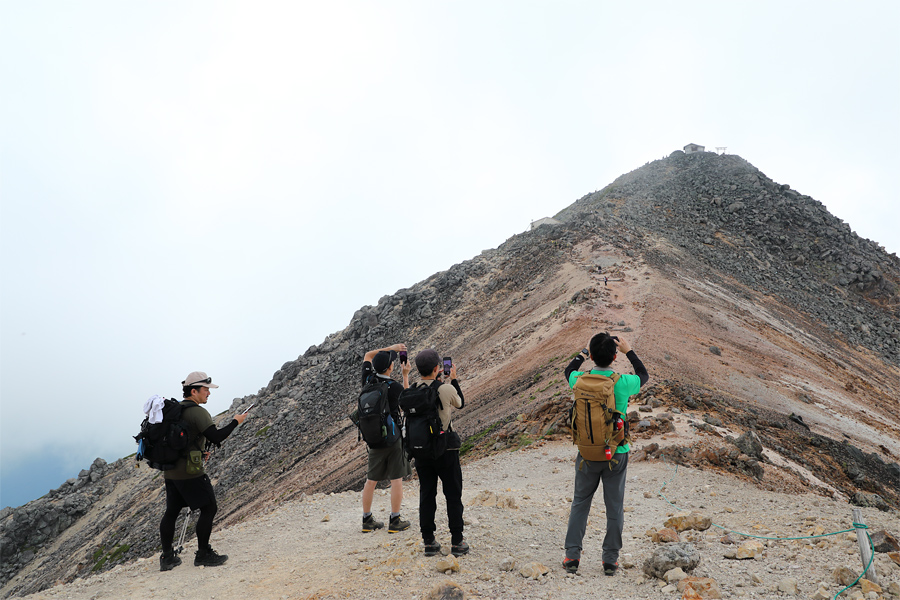
As I neared the summit of Mt. Asahi, the rocks underfoot began to take on a reddish hue, gradually turning pale and whitish the farther I climbed. I ran into a group of four hikers from Gifu Prefecture (pictured), who asked me, “What are you photographing for? Oh, it’s for a site called Snownavi? We’ll have to check it out!” The blue skies that had dominated the morning gradually gave way to a bank of clouds rolling in from the west, eventually enveloping the area. (The peak in the background of the photo is Kengamine).
[Mt. Norikura・Mt. Kodama to Kengamine]
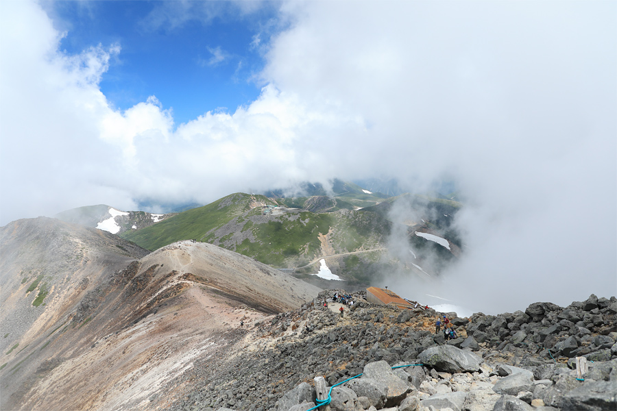
About an hour and 40 minutes after starting out, I reached the summit of Kengamine – the high point of the mountain. Although the views were hidden behind clouds today, on a clear day you can enjoy sweeping views of the Hotaka Range to the north, the Yatsugatake Mountains to the east, and both the Southern and Central Alps to the southeast. Just below the summit is a small hut (pictured, lower right) that has a shop selling drinks and T-shirts, but do note that the last restroom before the summit is back at Kata-no-Koya. (*To be continued in Mt. Norikura, Pt. 2.)
[Mt. Norikura・Kengamine]
[Mt. Norikura]
*Location … Matsumoto City, Nagano Prefecture; Takayama City, Gifu Prefecture
*Trailhead … Kata-no-koyaguchi
*Please be sure to submit a mountain entry report when entering the mountain
*Equipment … backpack, rain gear, down jacket, towel, change of clothes, sack cover, water and food, medicine, gloves, sunglasses, sunscreen, cell phone, etc.